ROUTE DATA
Difficulty: Medium
-
- Route: XCM Herzegovina
-
- Distance 49,56
-
- Duration:3 Hours
-
- Najviša točka (+): 1496 m
-
- Najniža točka (-): 1130 m
-
- Difficulty: ***
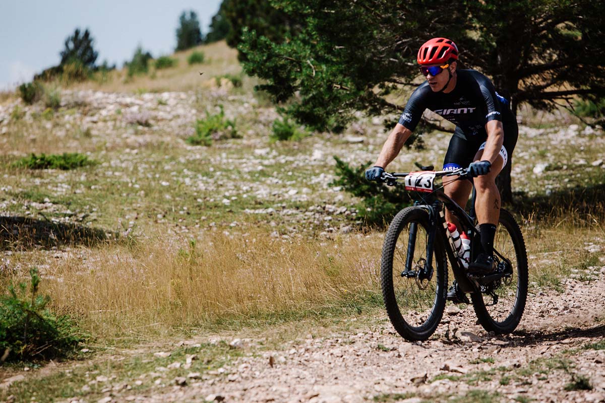
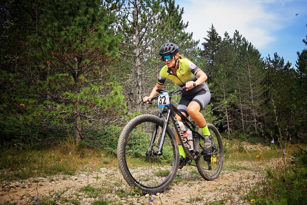
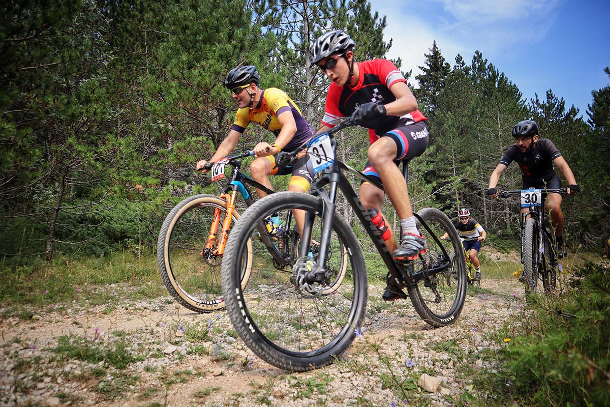
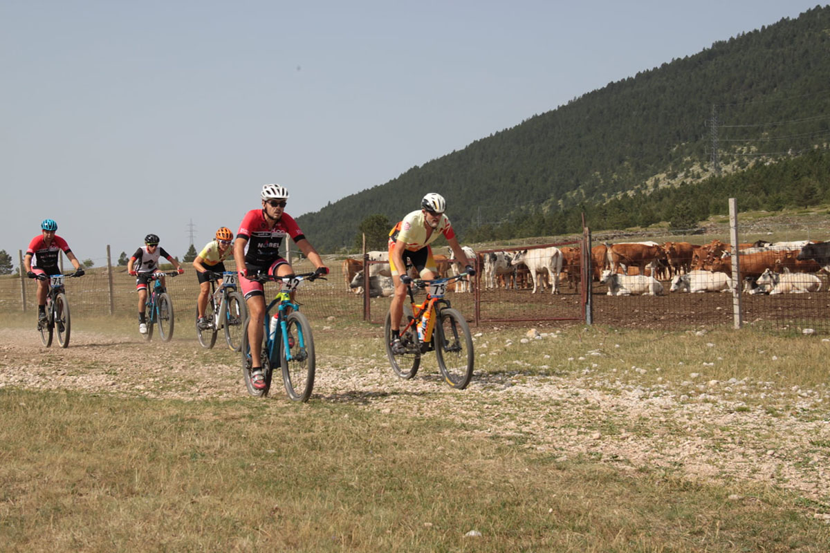
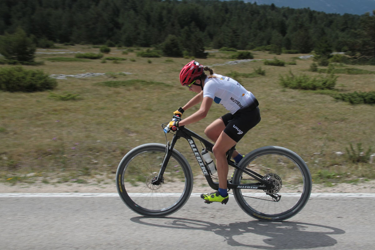
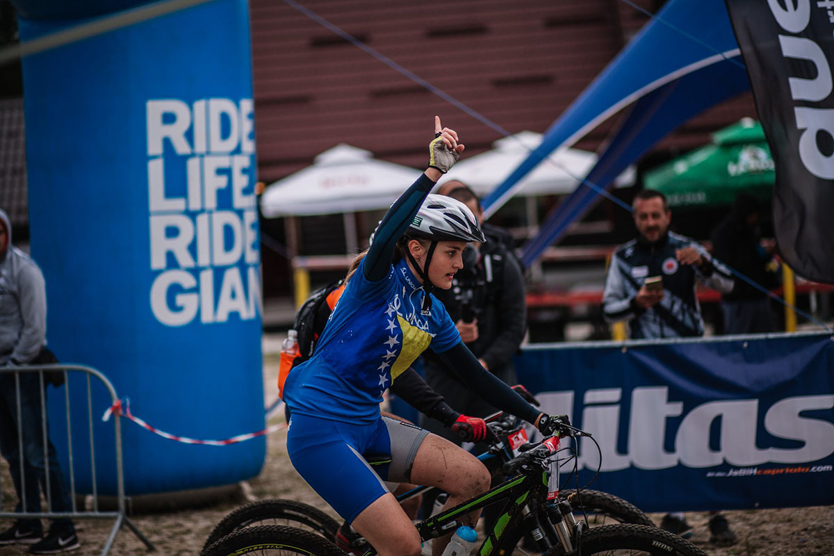
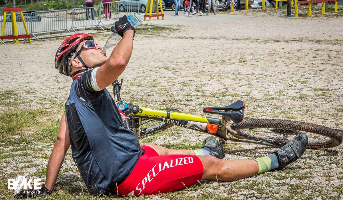
The Marathon, the sporting highlight of the festival, guarantees fun and excitement. Choose from two thrilling routes with distinct characters and relish your adventure!
The Marathon, the sporting highlight of the festival, guarantees fun and excitement. Choose from two thrilling routes with distinct characters and relish your adventure!
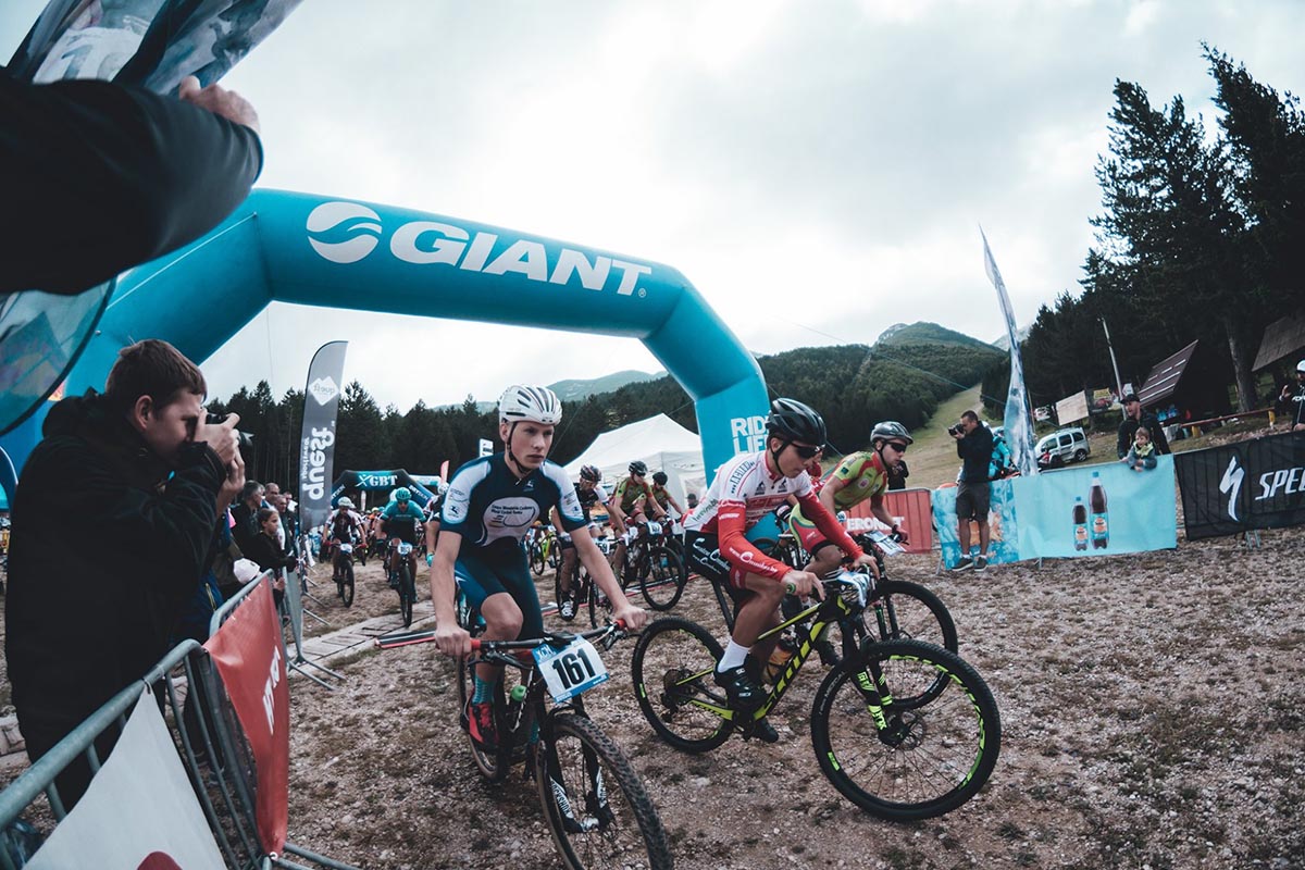
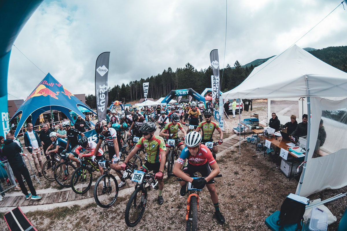
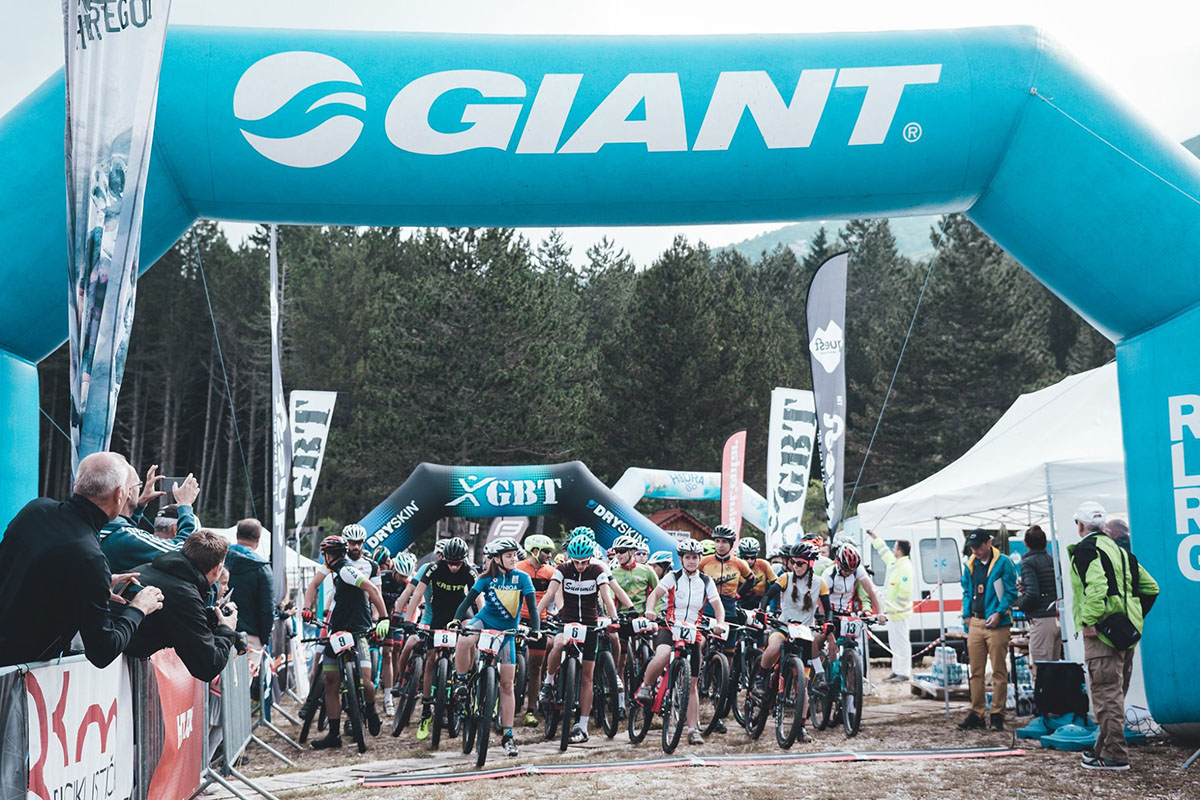
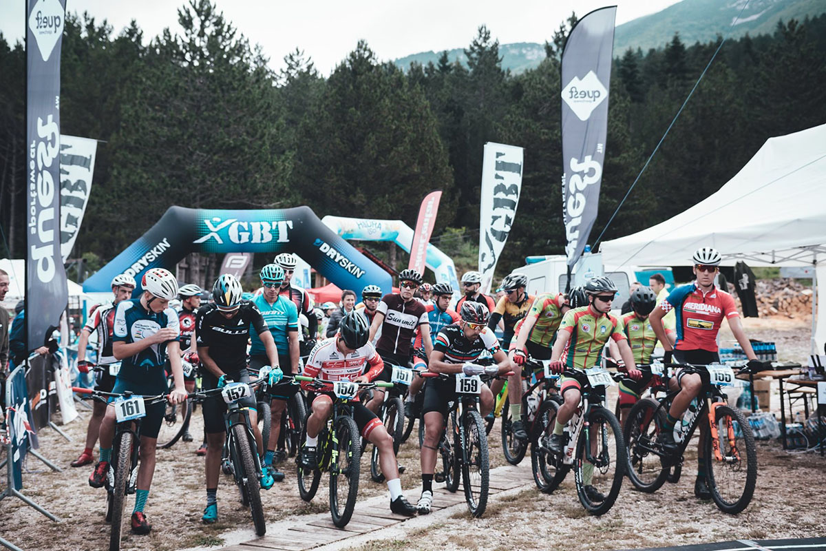
Iskusite navalu adrenalina, doživite adrenalinske nalete i uživajte u utrci. Maraton utrka starta 13. srpnja 2024. godine u 10:00 sati na slikovitoj SKI stazi Blidinja.
Get ready for the adventure!
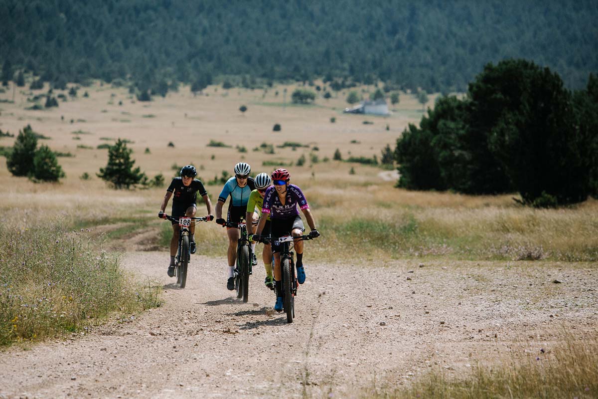
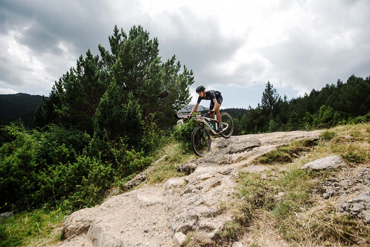
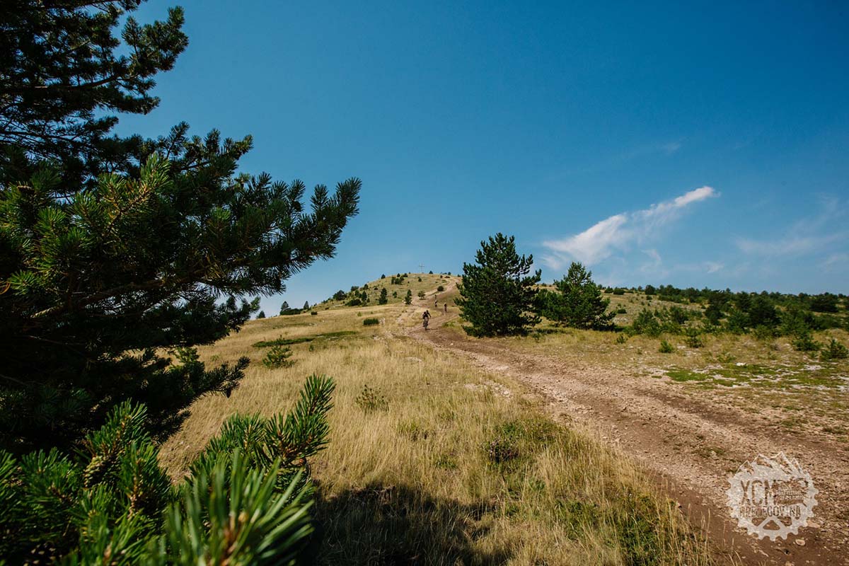
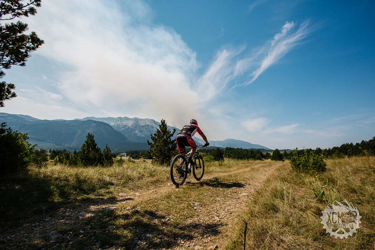
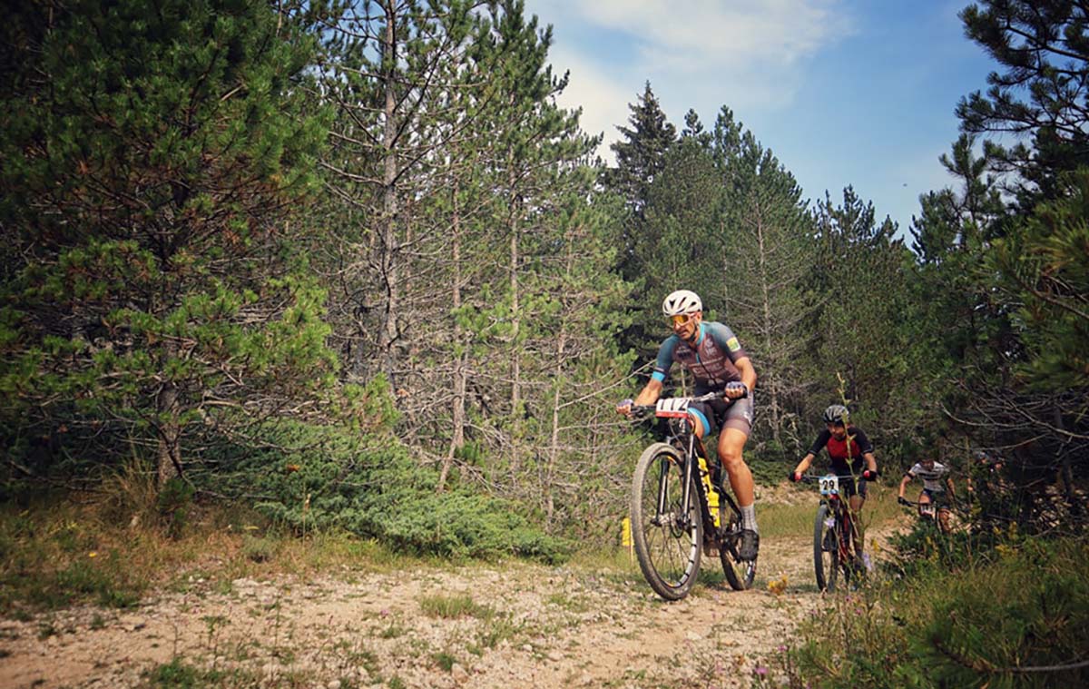
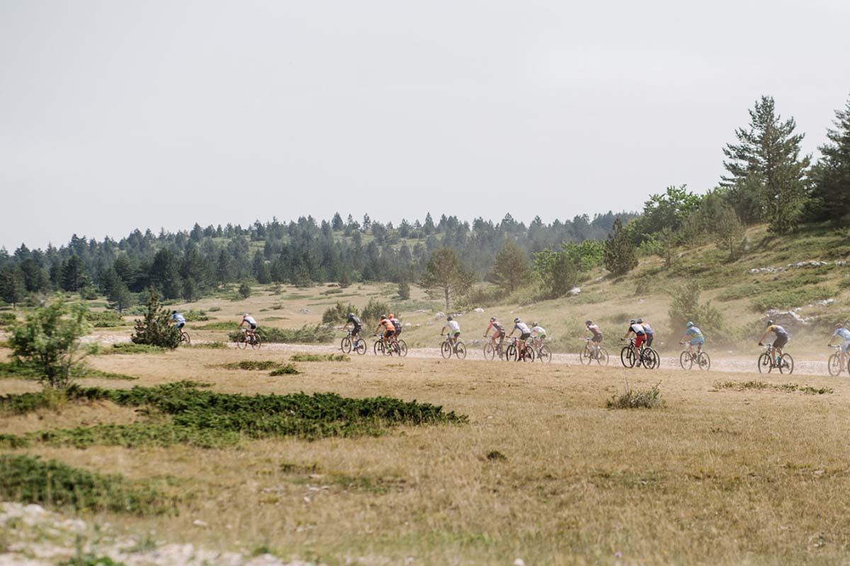
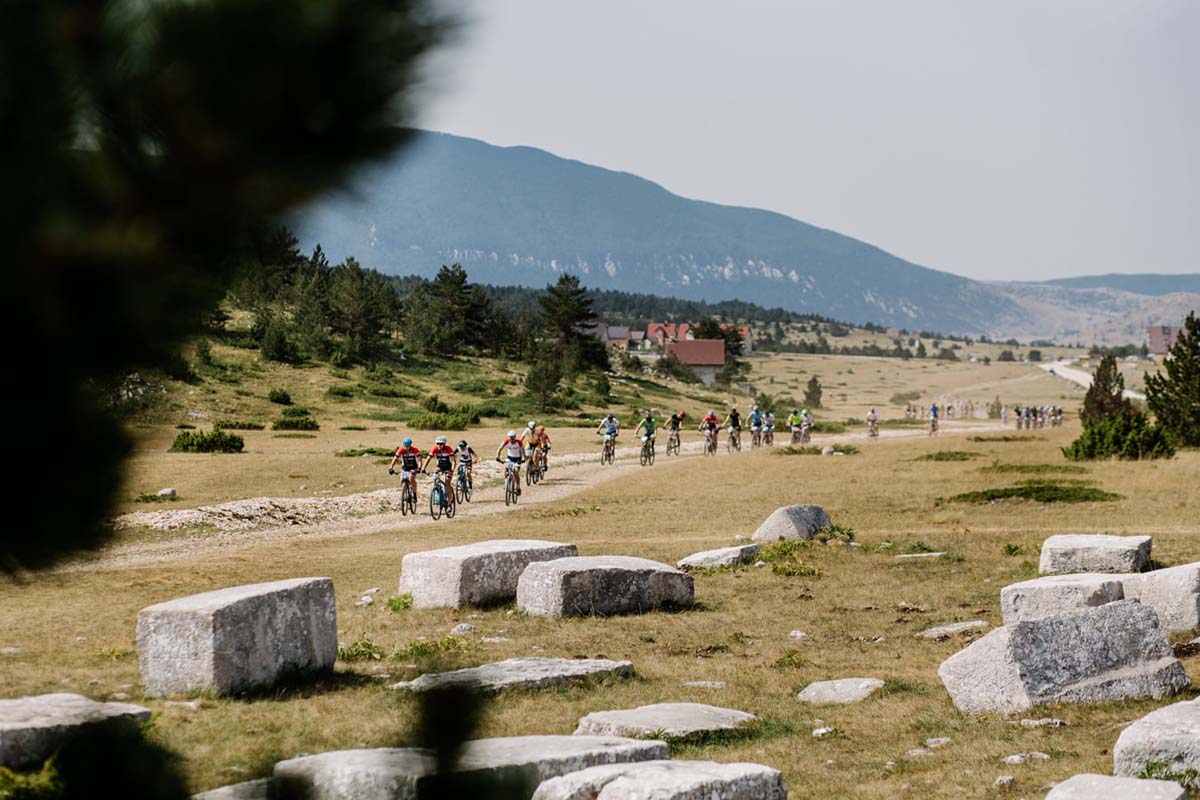
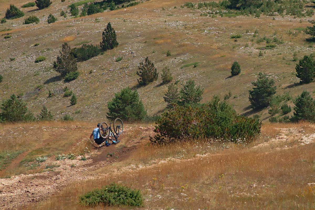
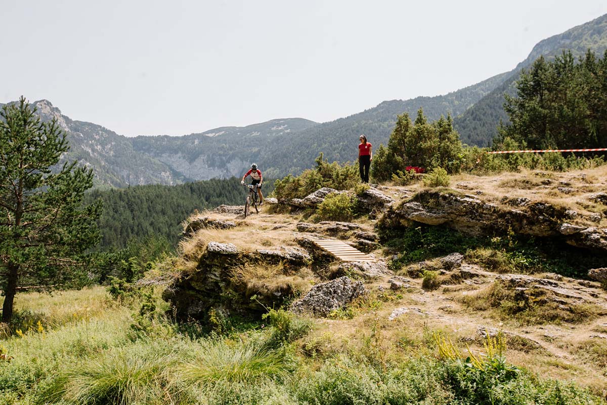
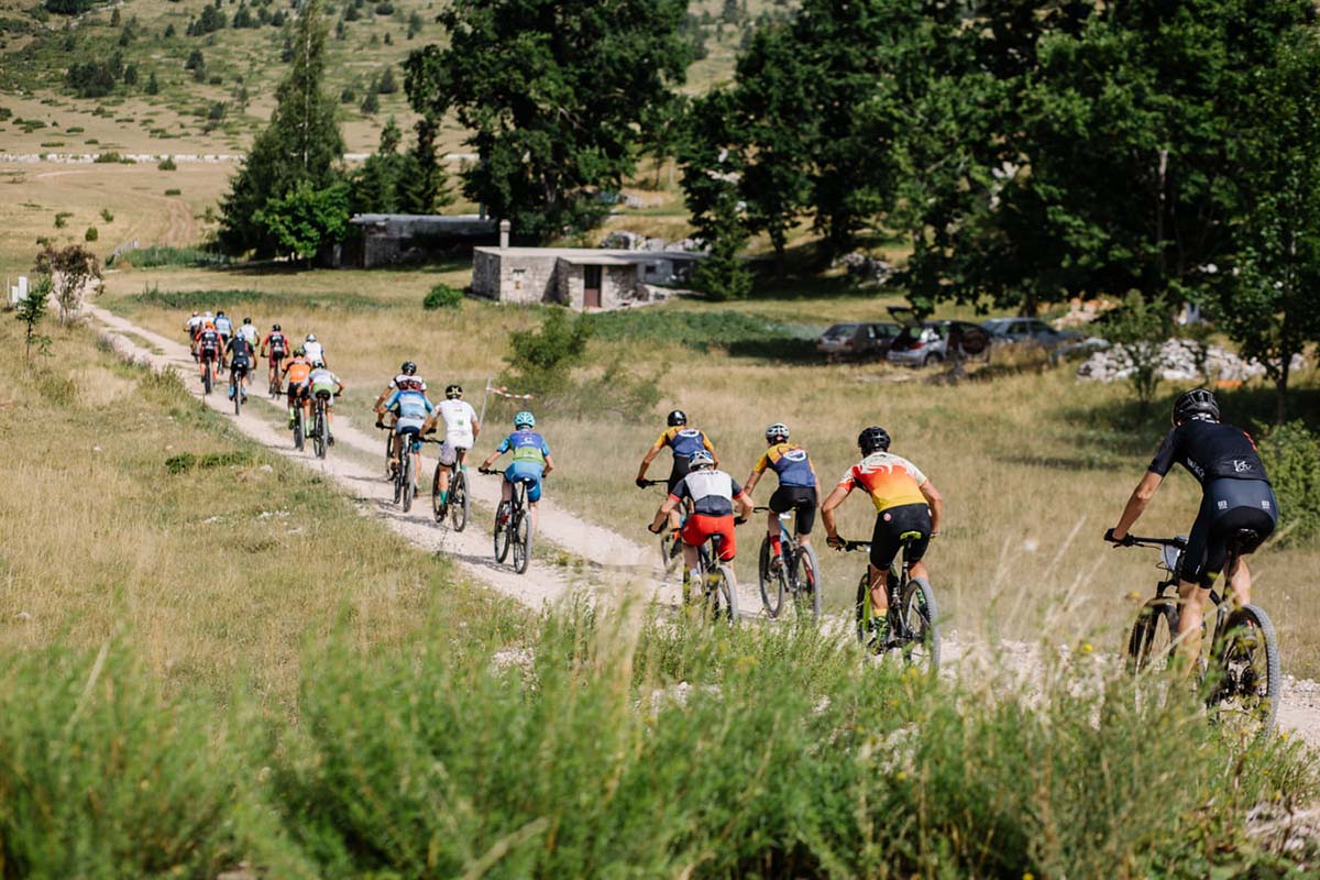
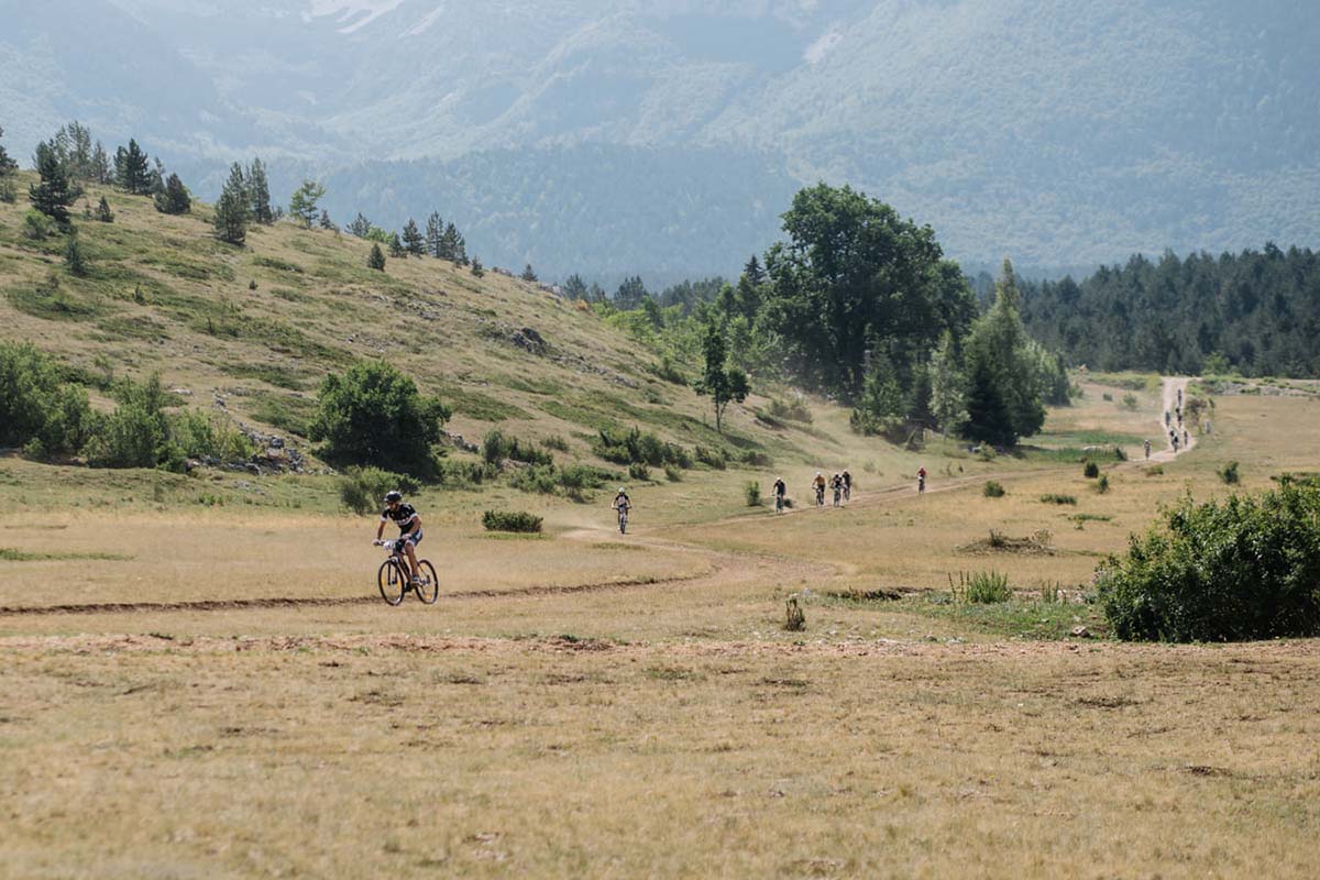
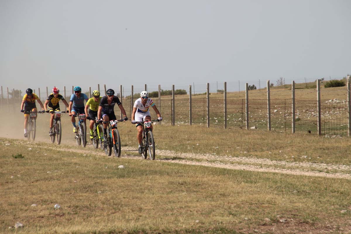
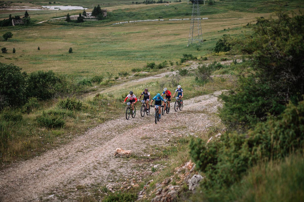
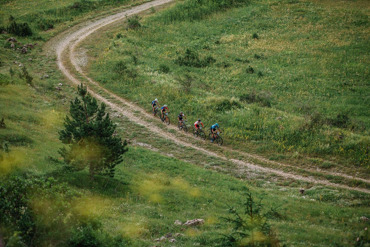
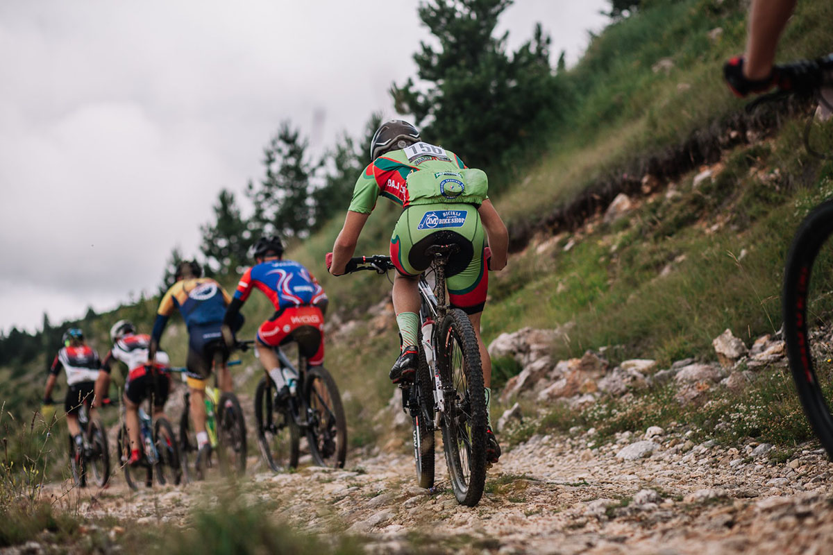
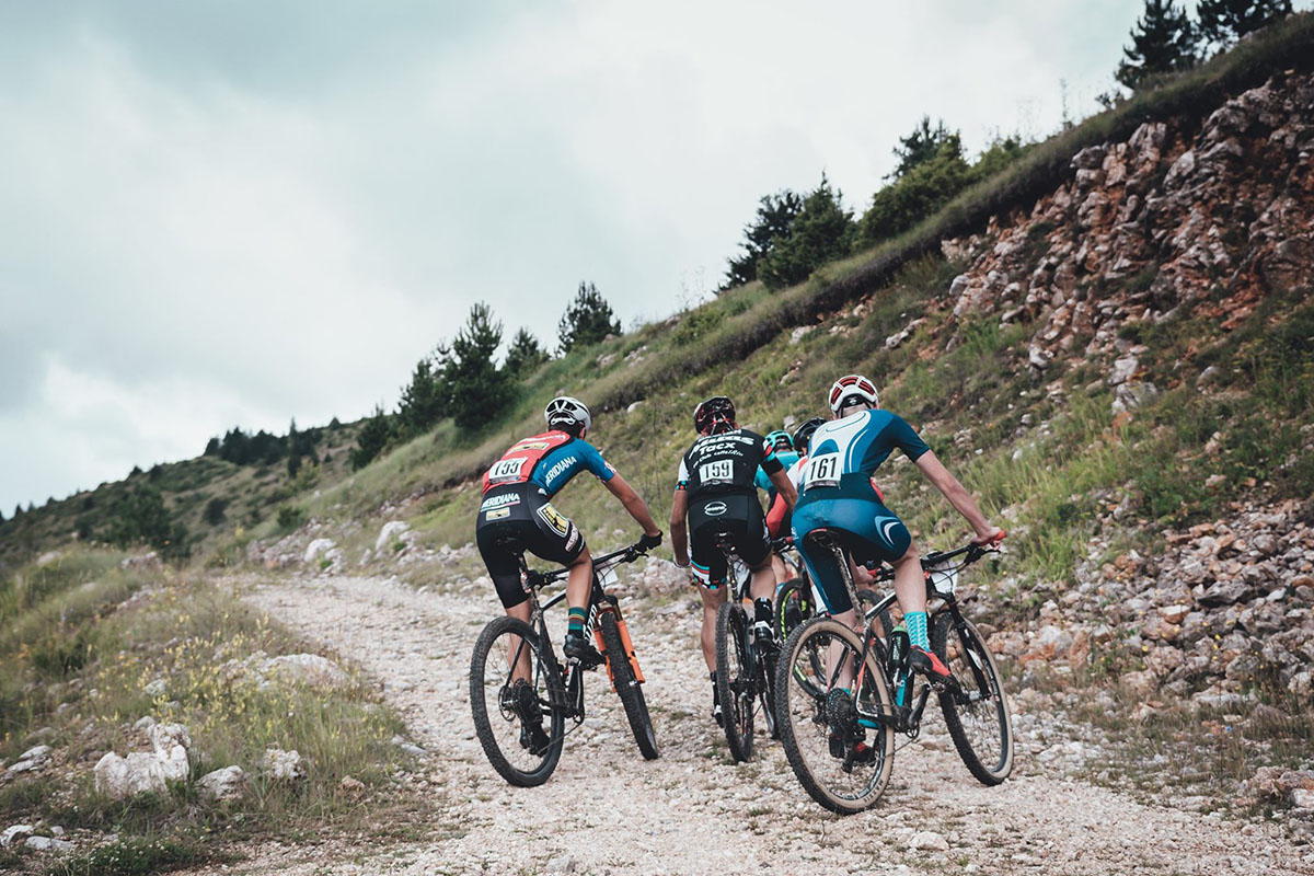
Immediately after the race starts in front of the Blidinje SKI Center, riders will embark on a fast descent and ride through the Tourist Settlement Risovac. They will then exit onto the main road, turning right towards the Risovac settlement. This section is quite fast, and we believe riders will maintain a strong pace, experiencing some fast rides. At the 5th kilometer in the Lagumovići settlement, or at the famous Sovića Vrata, riders descend onto a gravel section, and the first serious ascents follow, leading towards the Gornji Gvozdac and Diva Grabovčeva.
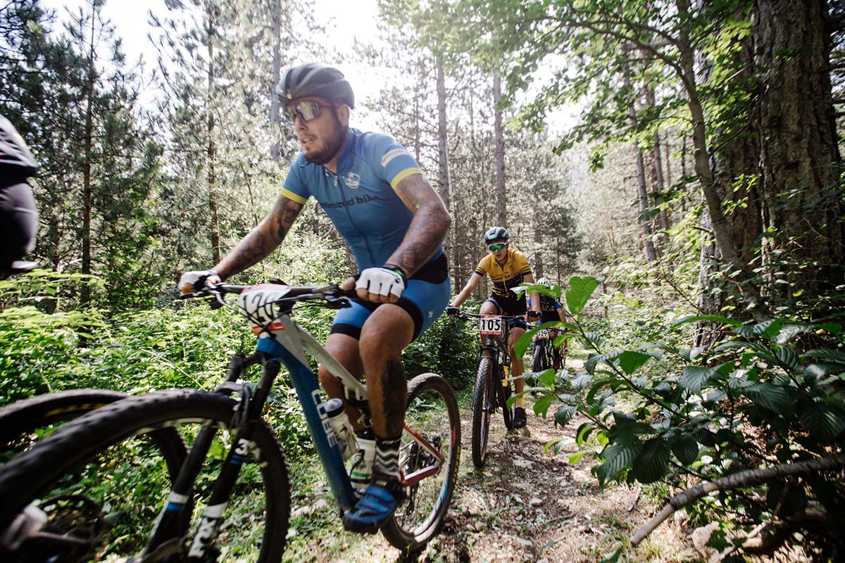
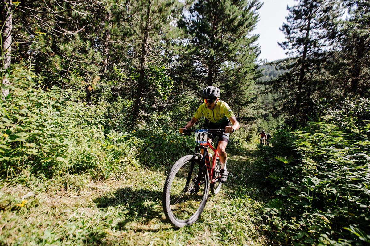
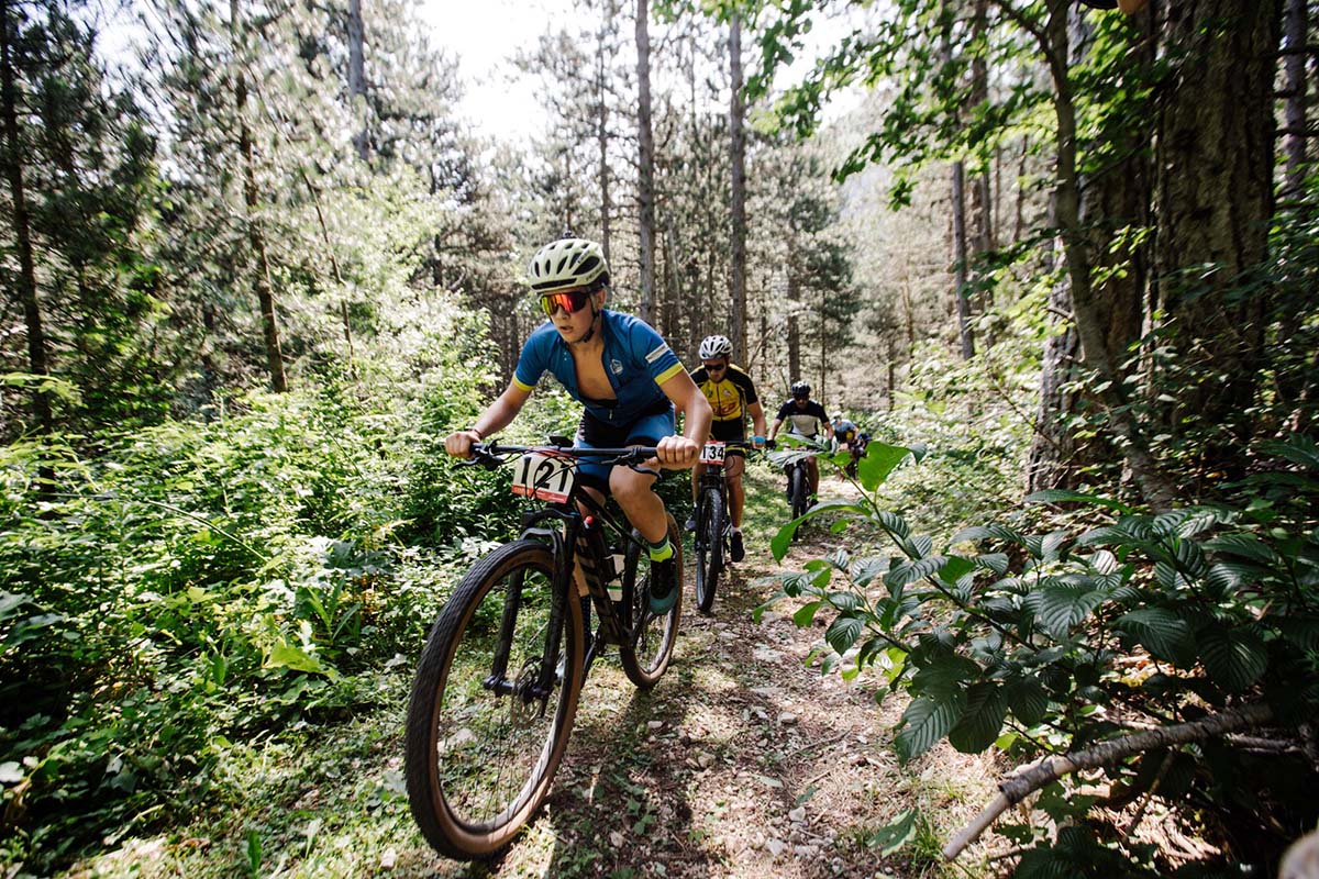
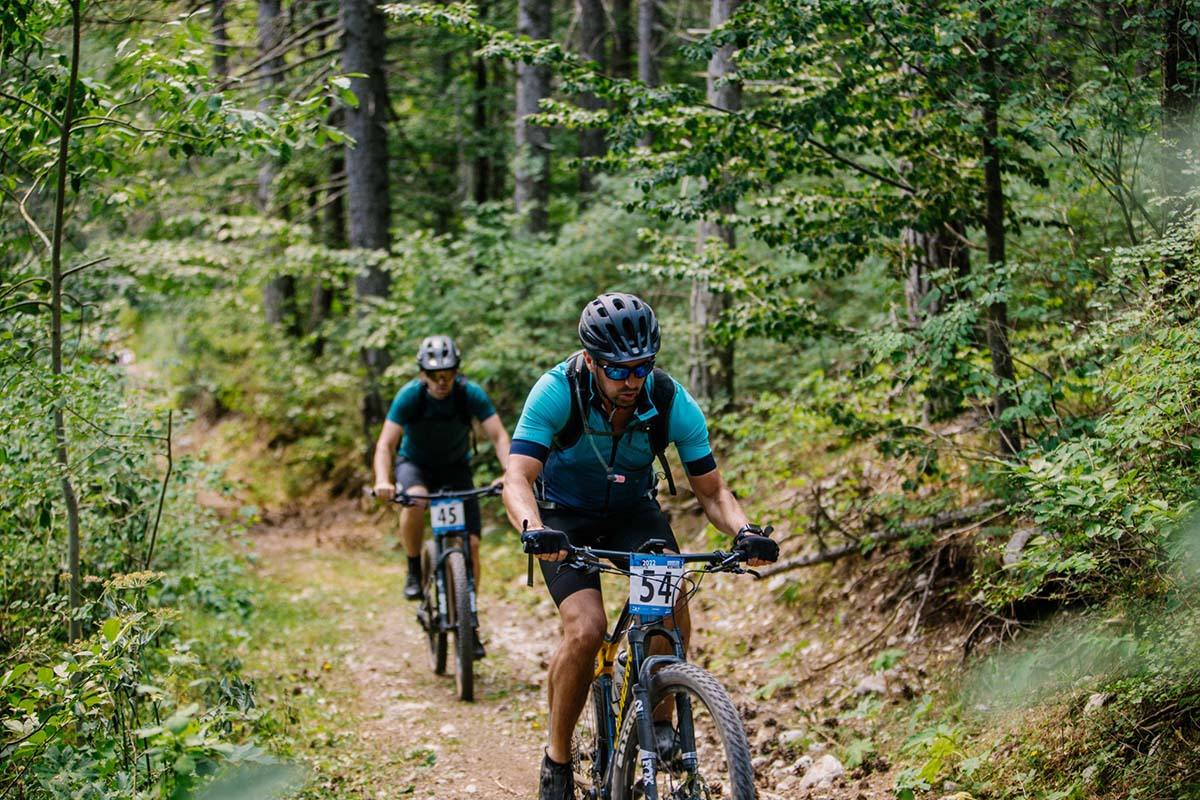
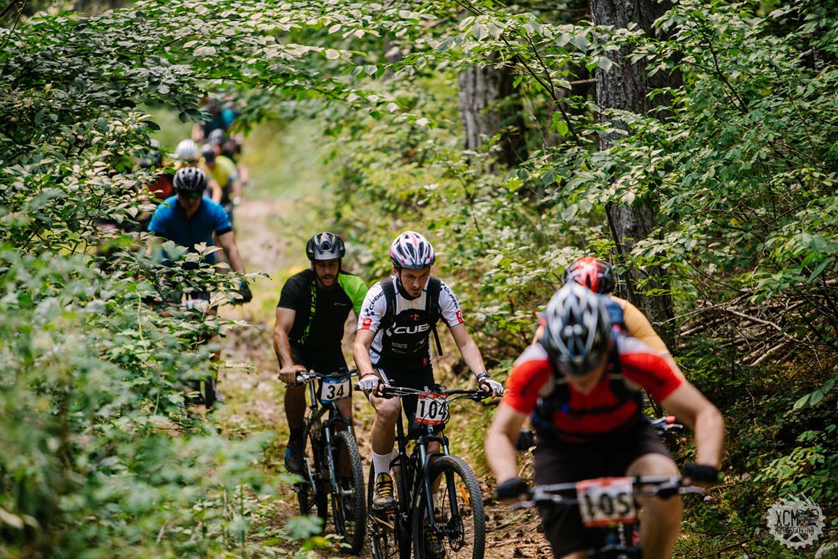
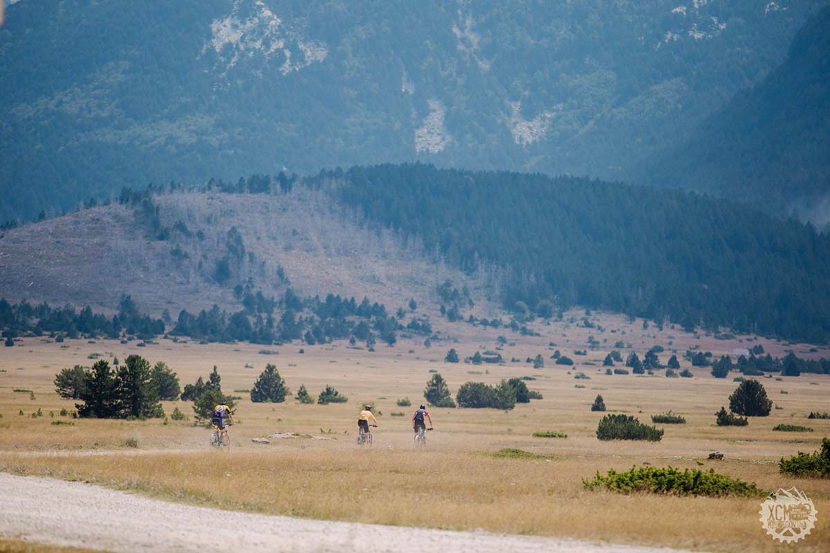
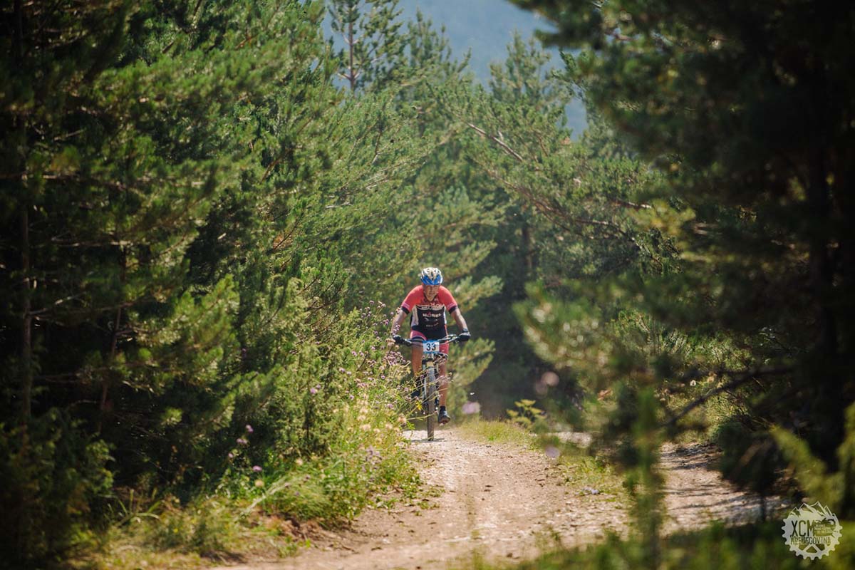
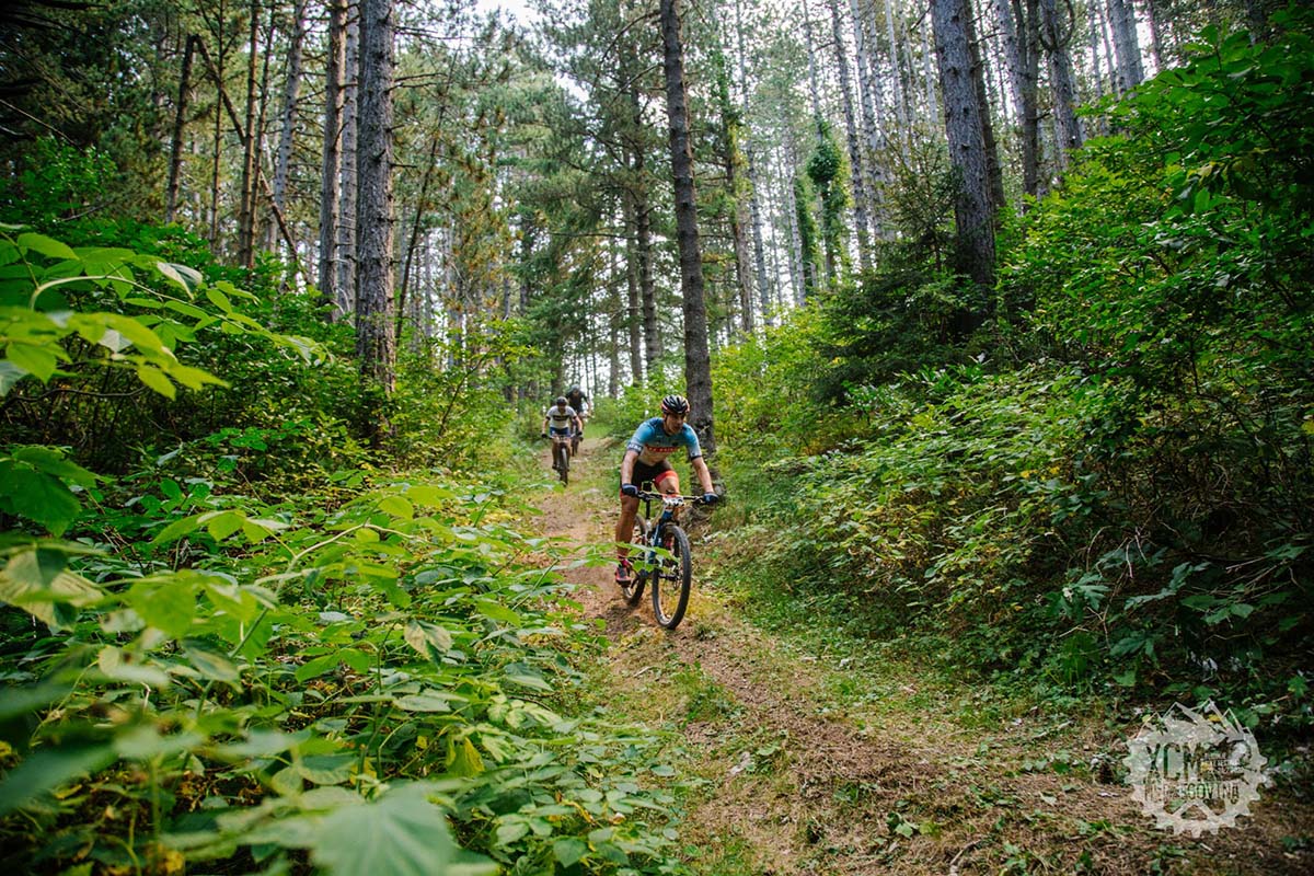
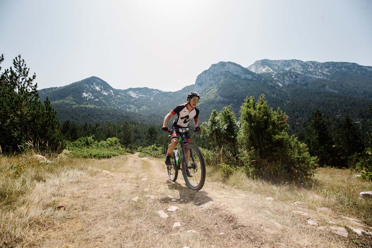
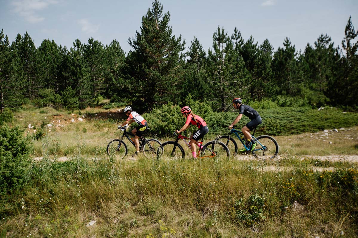
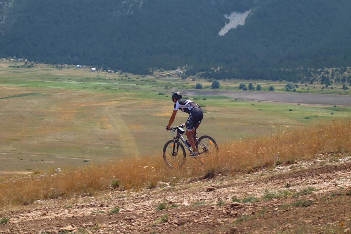
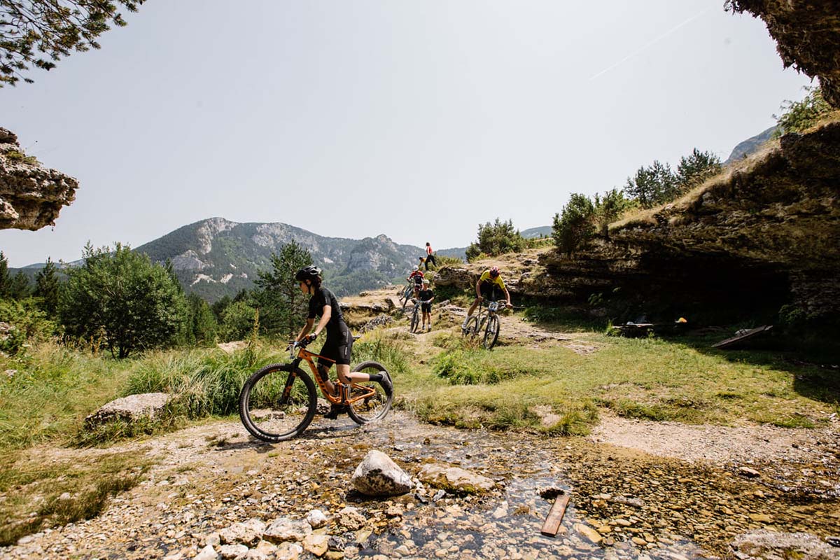
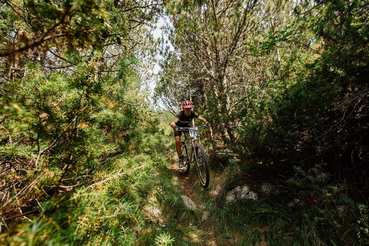
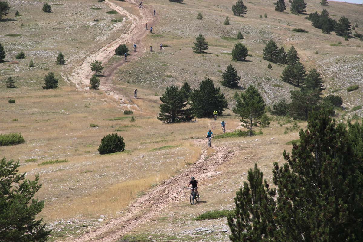
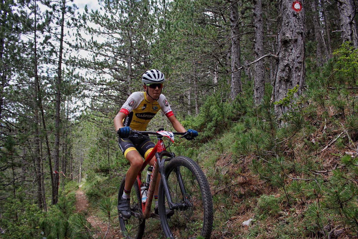
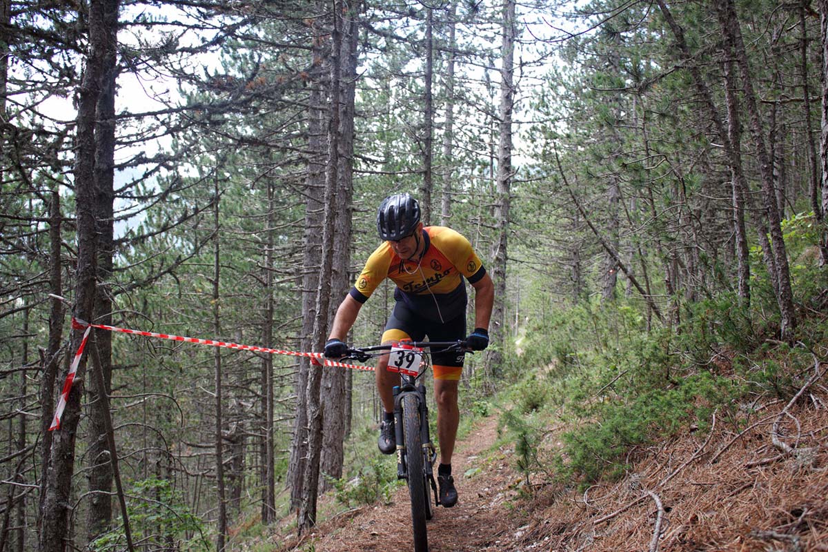
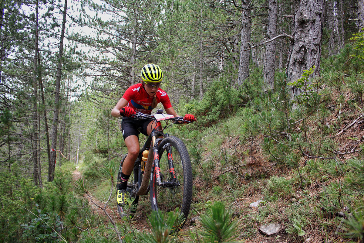
At the 11th kilometer, the first descent follows after the ascent, where the riders will take a short break and gather strength, while also starting the ride around the magnificent Vran. They will experience a ride through the picturesque forest of Mount Vran for about 10km, then exit onto a wide gravel road, from where they will descend towards Tomislavgrad.
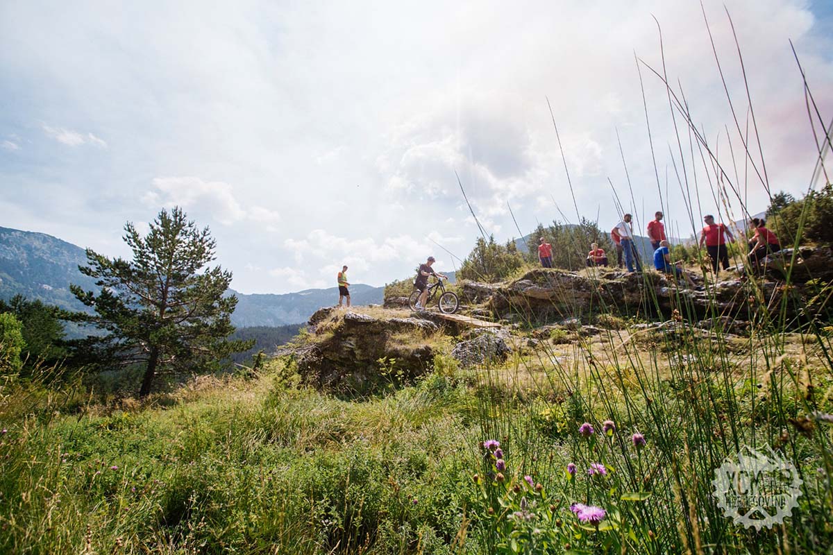
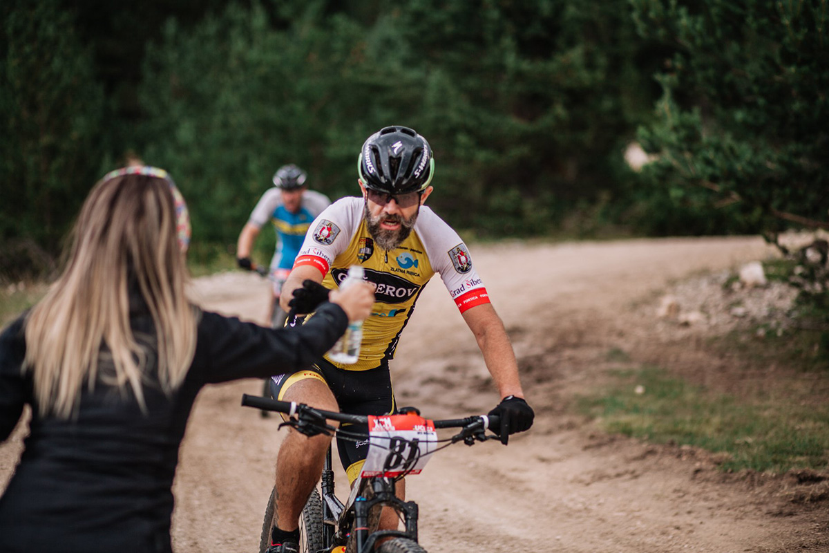
At the 28th kilometer, the route splits between the long and short marathon! Riders of the long marathon continue straight, while those in the short marathon turn into the forest, taking a shorter path towards the regional road leading to Blidinje Lake. However, there’s no need to worry about intersections or constantly checking your Garmin device for mileage. At each of these junctions, a race official will be present to guide you and ensure there is no course cutting. Additionally, visual markers and trail signs will be placed in areas where shortcuts are not possible.
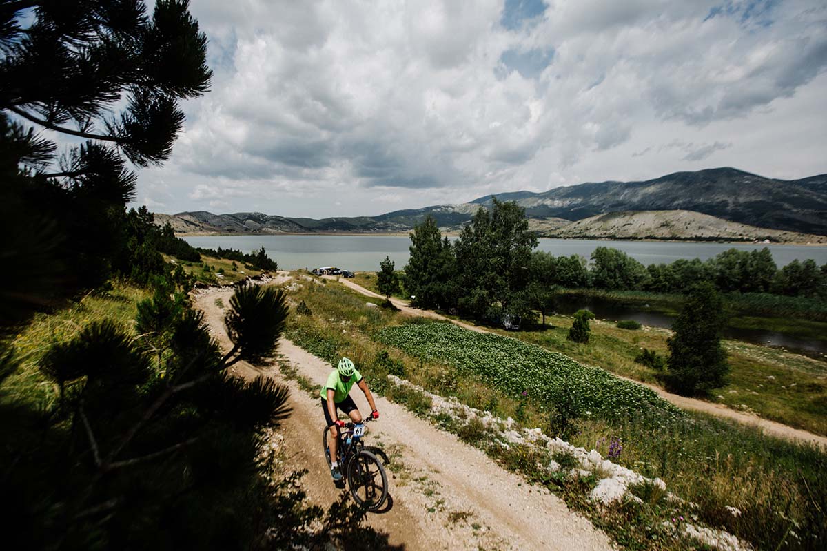
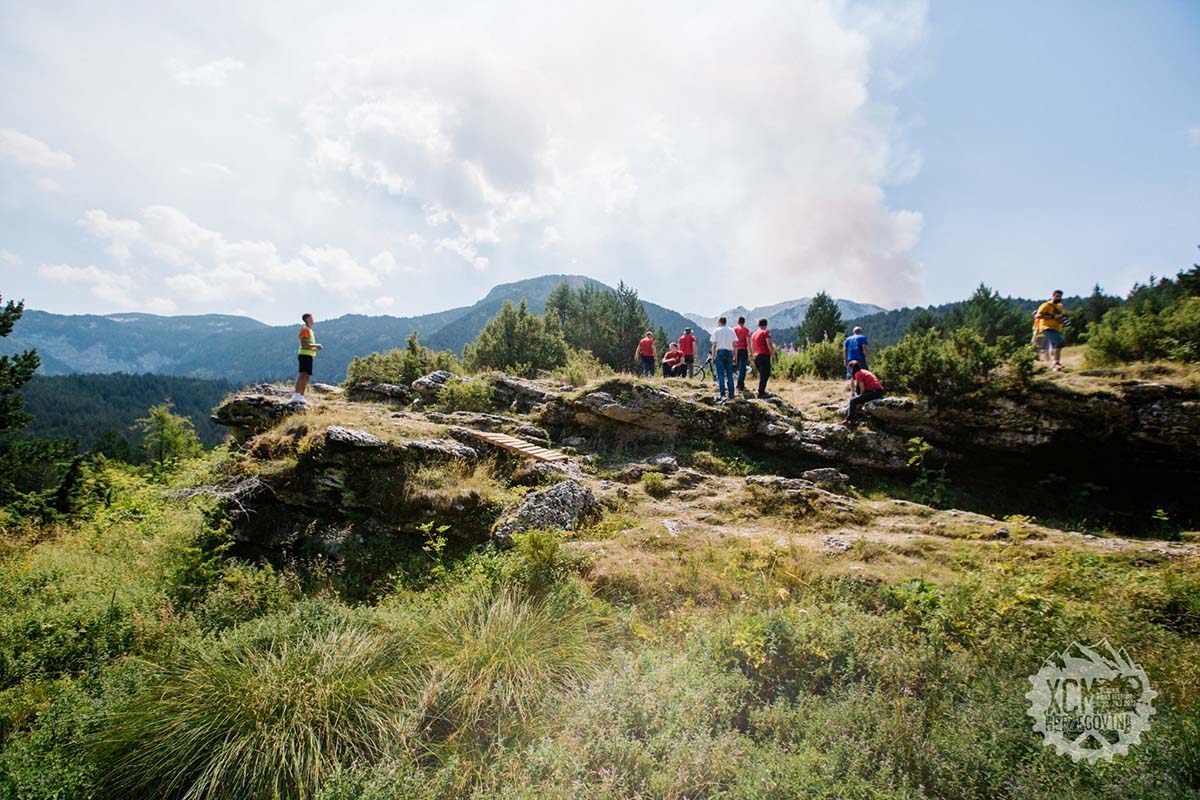
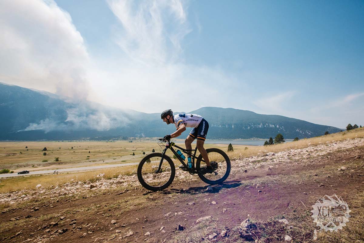
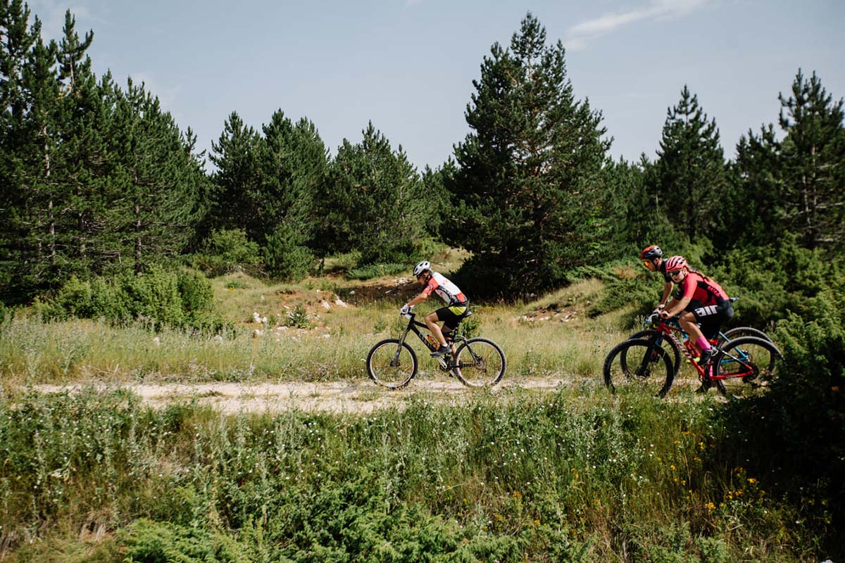
At the 32nd kilometer, you cross the Blidinje road (regional road) where vehicle traffic is possible, so be cautious even though there will be marshals at that location. At this point, riders of the small marathon turn left, riding on a bicycle path along the regional road, leading to Blidinje Lake. As you approach the lake, beautiful views await you.
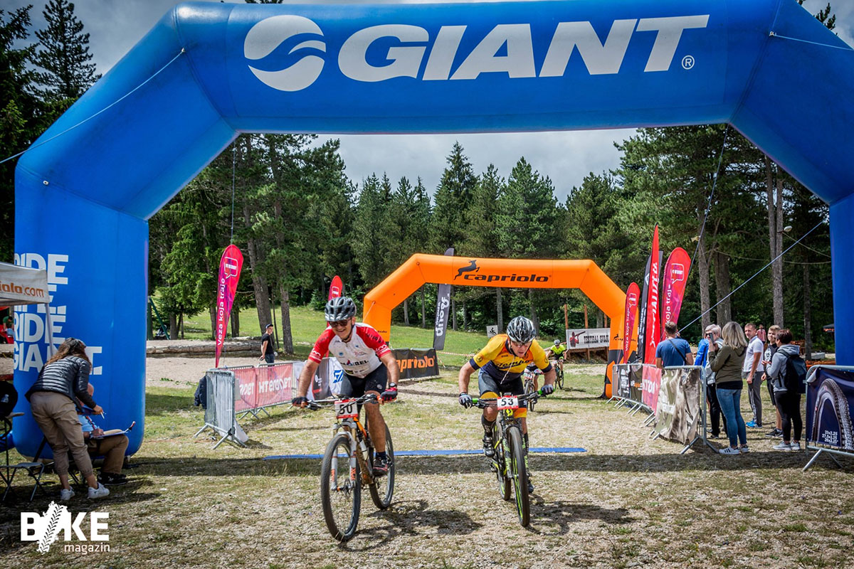
At the 39th kilometer, you turn right into the field, where you ride about 2km through the field, then enter the Varićak grove and continue riding towards Masna Luka. However, you do not go directly to Masna Luka but continue towards the settlements of Donje Badnje and Gornje Badnje, and towards the tourist settlement near the Blidinje SKI Center. Entering the tourist settlement signifies that you need to accelerate and give it your all to achieve the best placement, as it is also a sign that you are entering the final meters of the track, and the finish line is just around the corner.

How to get
Blidinje Nature Park and Blidinje SKI Center is easily accessible from the cities of Posušje, Tomislavgrad, and Jablanica. If coming from the west, you can take the route from Posušje via Rakitno (R419) or from Tomislavgrad via Lipe (R419a). If coming from the east, the route is from Jablanica via R419.
For more information on how to get to the race start, i.e., Blidinje SKI Center, please check HERE.
SAFETY GUIDELINES
SAFETY TIPS
- Always wear your helmet.
- Plan your ride.
- You share the trail with other users. Yield right of way to hikers.
- Let your speed be determined by your experience.
- Ride slowly on crowded trails, overtake with politeness and respect.
- Avoid muddy trails in order not to damage them further.
- Respect public and private property.
- Always be self-sufficient.
- Do not cycle solo in remote areas..
This information is subject to inevitable variations, so none of these indications are absolute. It is not entirely possible to avoid giving inexact or imprecise information, given how quickly environmental and weather conditions can change. For this reason, we decline any responsibility for changes which the user may encounter. In any case, it is advisable to check environment and weather conditions before setting out.
