
ROUTE DATA
Difficulty: Easy
-
- Route: “Stazom Ajduka”
-
- Length: 35,32 km
-
- Duration:3 Hours
-
- Height difference (+): 670 m
-
- Height difference (-): 670 m
-
- Difficulty: **
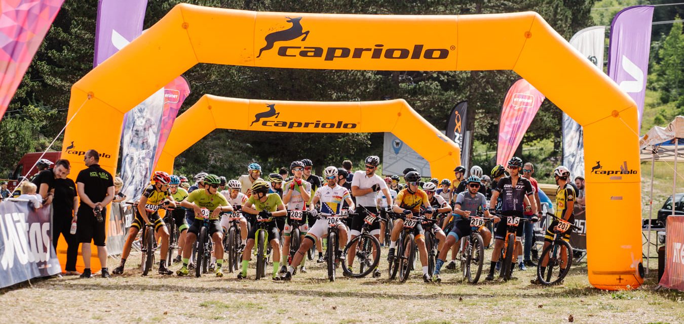
Discover Blidinje Nature Park: immerse yourself in nature, ride with a team and enjoy Herzegovinian cuisine. Perfect for recreational riders of all levels - See you on 12.07.2025!
Whether you want to participate with Gravel bike or go with MTB bike on a leisurely tour, it’s up to you. Here, it’s all about the journey and enjoyment, not the speed. Take time to chat, ride the gravel and relish every moment. Get ready to tantalize your taste buds! We’re all about unique experiences, and you can expect to indulge in regional delights.
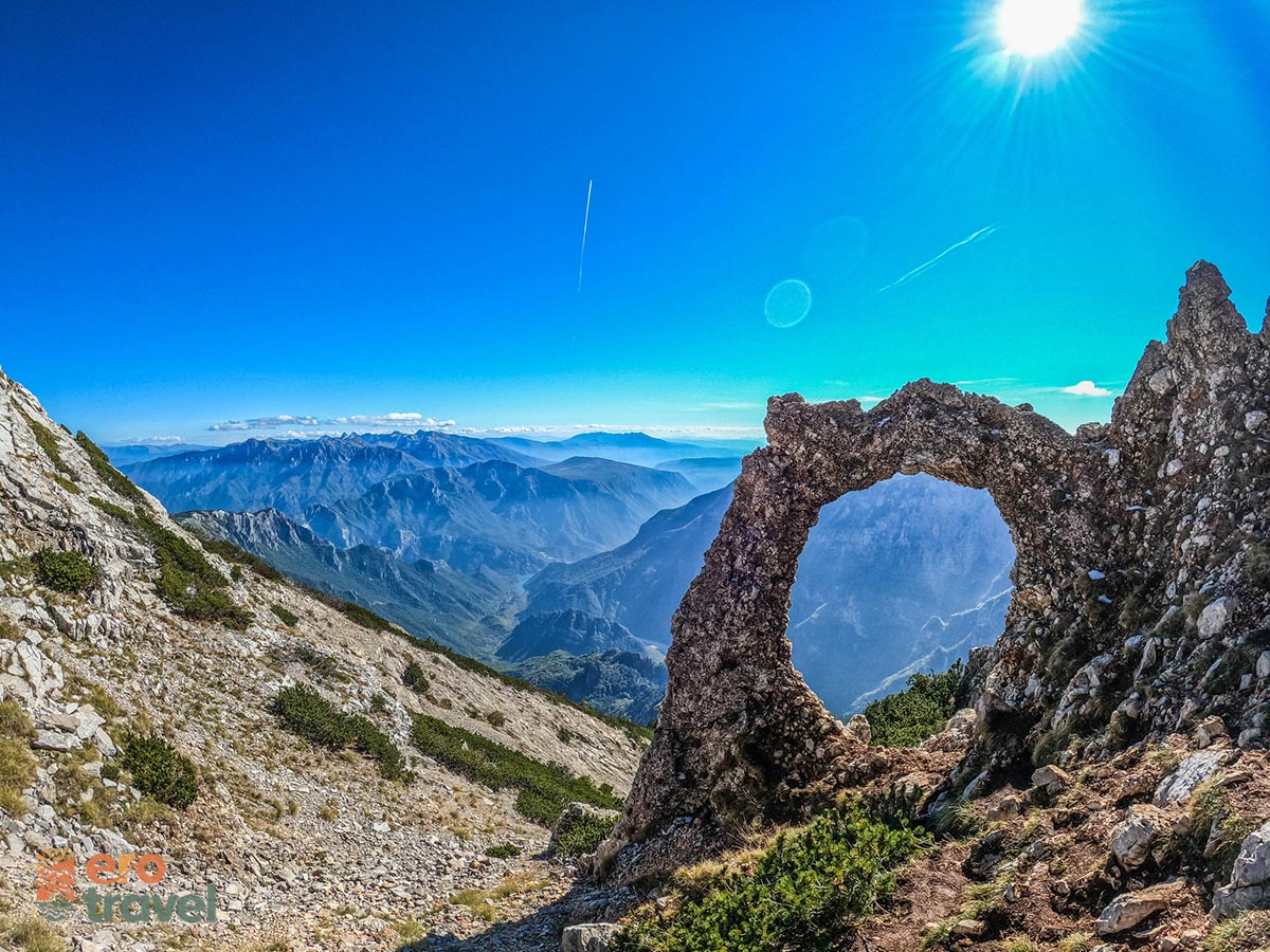
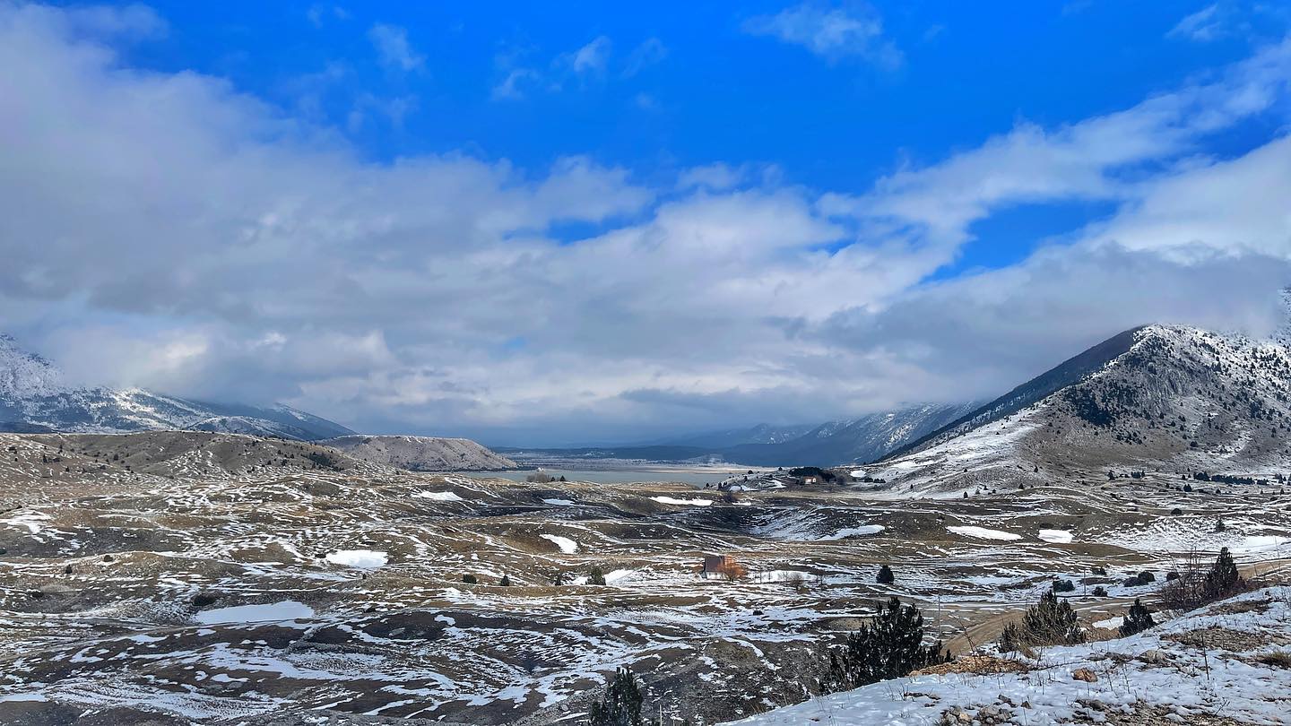
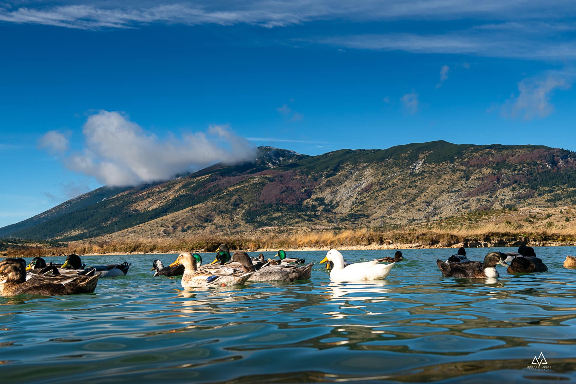
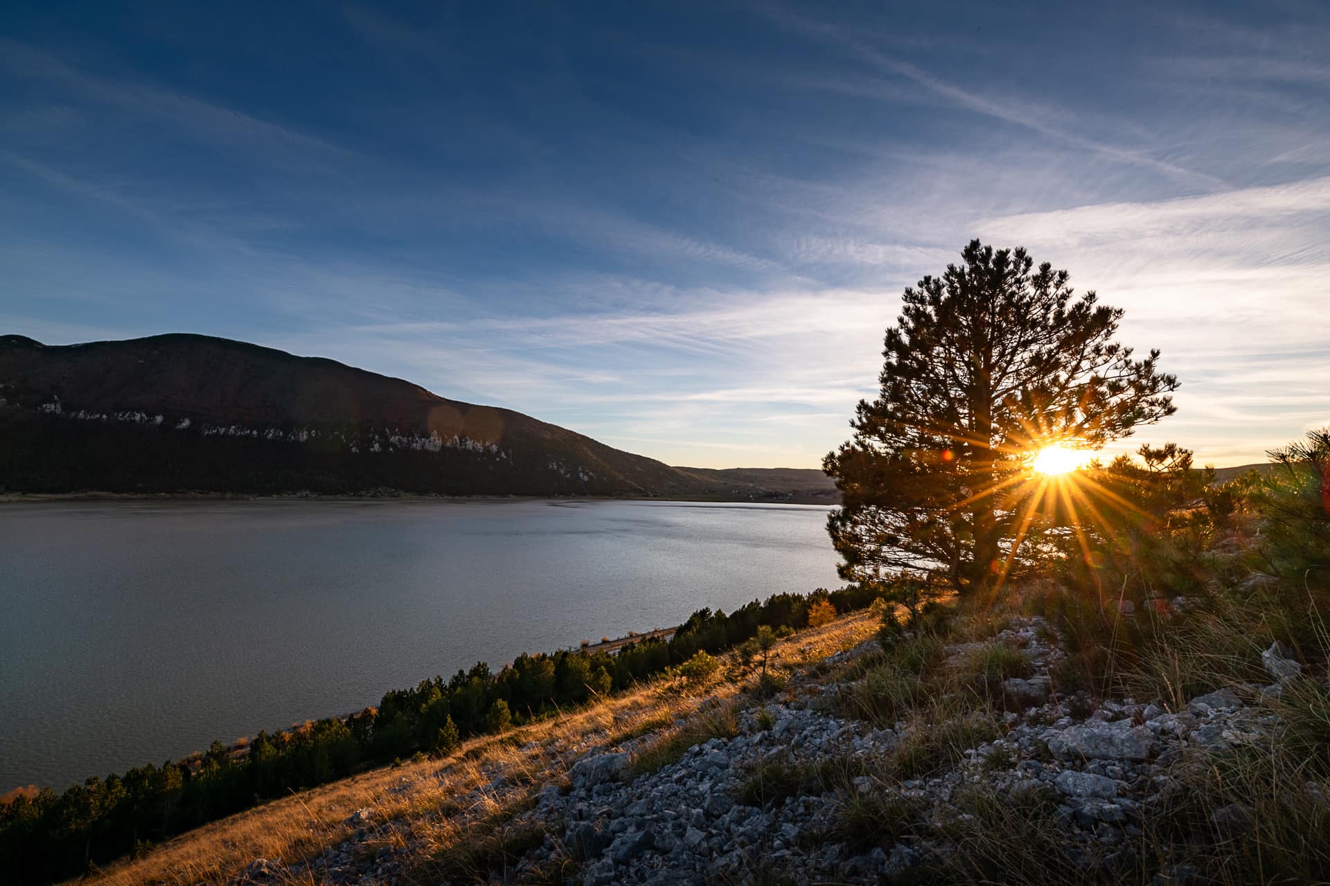
This cycling route takes you through beautiful landscapes, starting from the Blidinje SKI Center to the stećak necropolis in Risovac. It then goes to the UNESCO-protected necropolis of Dugo Polje. The entire time, it passes through the center of the Blidinje Nature Park, offering excellent views of Vran and Čvrsnica, and, to a large extent, Blidinje Lake and Risovac.
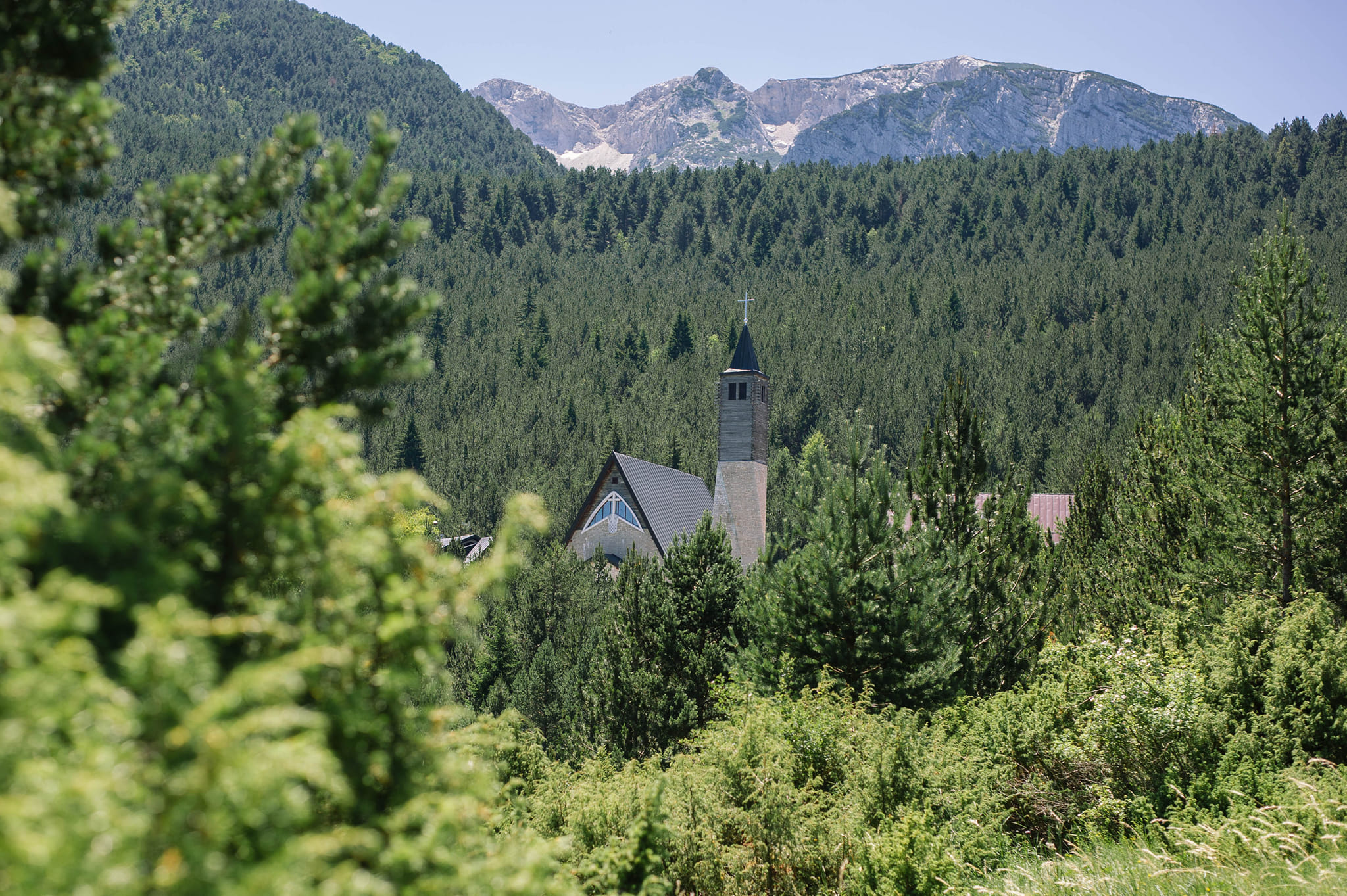
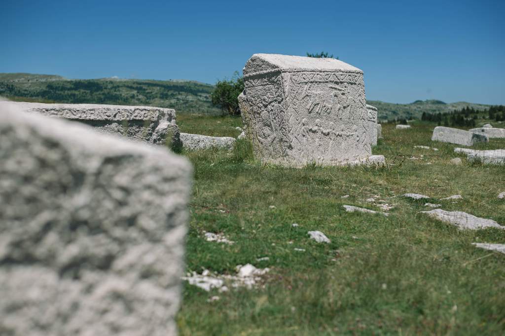
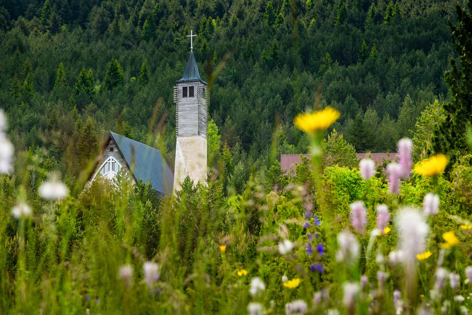
The tour starts from the Blidinje SKI Center through the tourist settlement and the area with a large number of beautiful weekend houses, leading to the asphalt road (regional road R419), continuing further to the Stećak Necropolis in Risovac. Next to the stećaks is the old church in Risovac, and a little earlier, along the road, you can see the new large church. From these stećaks to those named Dugo Polje, you pass through the Risovac field adorned with cultivated meadows and small green hills, giving the entire tour a special atmosphere where you feel like you’re on a lower plateau, not in the area of high mountains. After visiting the Stećak Necropolis of Dugo Polje, which is also under UNESCO protection and counts as many as 150 stećaks, the tour continues on the asphalt road through the central part of Blidinje.
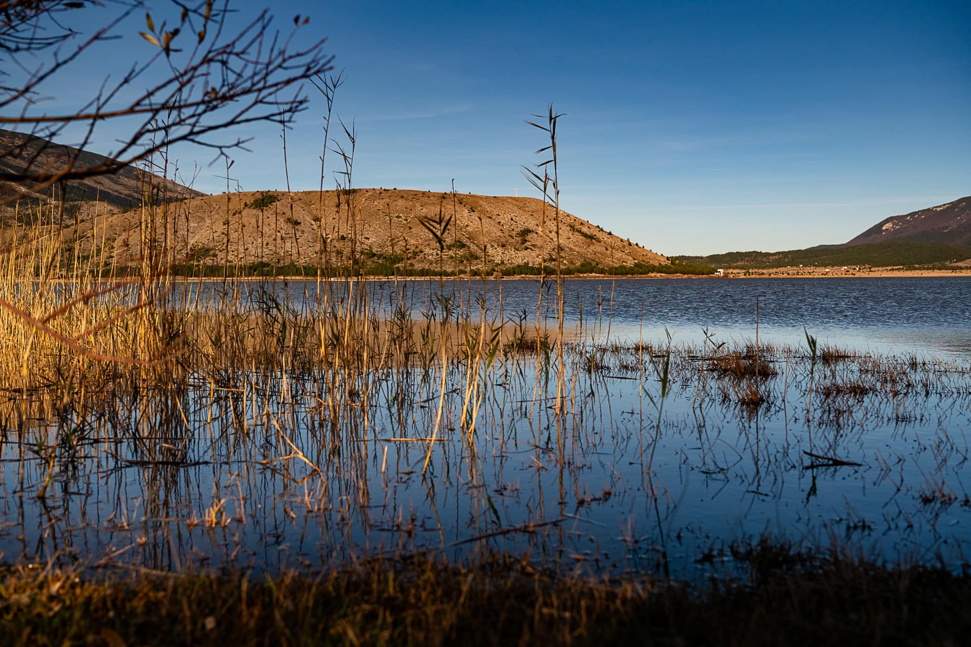
On the long asphalt road towards Blidinje Lake, the views in any direction will leave you with the impression that Blidinje Nature Park is truly a place of unseen beauty. Upon reaching the lake, there is enjoyment and relaxation with the gentle sounds of its turbulent water swayed by a gentle mountain breeze. After the lake, it is necessary to cross along the edge of Dugo Polje towards the forests of Boričevac, and through the gravel road and the tall pine trees, you exit onto the asphalt road to Masna Luka. Passing by the administrative building of the Blidinje Nature Park, you continue straight and descend into Masna Luka, where you can explore the Church of St. Elijah.
After visiting the church and the Franciscan house of prayers, this cycling tour goes through the beautiful landscapes of Badnja and Ivan Dolac, offering an excellent view of the high slopes of Čvrsnica looming over Masna Luka and the Ski Slope. Passing through Ivan Dolac and the area with a large number of beautiful weekend houses, you come back to the starting point where this tour concludes.
A joint lunch follows in front of the SKI Slope restaurant, and then there is a break until the start of the presentation of the National Teams of 12 countries participating in the Balkan Championship, followed by a party for all event participants.
HOW TO GET
Blidinje Nature Park and Blidinje SKI Center is easily accessible from the cities of Posušje, Tomislavgrad, and Jablanica. If coming from the west, you can take the route from Posušje via Rakitno (R419) or from Tomislavgrad via Lipe (R419a). If coming from the east, the route is from Jablanica via R419.
For more information on how to get to the race start, i.e., Blidinje SKI Center, please check HERE.
SAFETY GUIDELINES
SAFETY TIPS
- Always wear your helmet.
- Plan your ride.
- You share the trail with other users. Yield right of way to hikers.
- Let your speed be determined by your experience.
- Ride slowly on crowded trails, overtake with politeness and respect.
- Avoid muddy trails in order not to damage them further.
- Respect public and private property.
- Always be self-sufficient.
- Do not cycle solo in remote areas..
This information is subject to inevitable variations, so none of these indications are absolute. It is not entirely possible to avoid giving inexact or imprecise information, given how quickly environmental and weather conditions can change. For this reason, we decline any responsibility for changes which the user may encounter. In any case, it is advisable to check environment and weather conditions before setting out.
